Hayli Gubbi Volcano
Updated: 29. Apr. 2024 12:07 GMT -
Shield volcano 521 m / 1,709 ft
Ethiopia, 13.5°N / 40.72°E
Aktueller Status: normal / ruhend (1 von 5)
Ethiopia, 13.5°N / 40.72°E
Aktueller Status: normal / ruhend (1 von 5)
[smaller] [larger]
Ausbrüche des Hayli Gubbi: unknown, no recent eruptions
Letzte Erdbeben in der Nähe
| Uhrzeit | Mag. / Tiefe | Entfernung / Ort | |||
Beschreibung
Hayli Gubbi is the southernmost volcano of the Erta Ale Range. Recent tectonism has created a graben at the summit of 521-m-high volcano. A symmetrical scoria cone with a 200-m-wide crater displaying fumarolic activity occupies the center of the graben. An older shield volcano is covered on the north by recent fissure-fed lava flows. Lava flows from the axial portion of a fissure system extending to the south have reached the floor of the Giulietti Plain south of the Erta Ale Range. The open fissures extend for more than 10 km and are lined with dozens of small spatter cones and pit craters. The distal portion of lava flows issuing from the fissure system cover 8200-year-old sedimentary deposits on the Giuletti Plain.---
Smithsonian / GVP volcano information
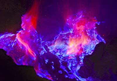
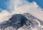
Hayli Gubbi Volcano Photos
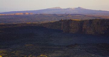
Das letzte Sonnenlicht berührt die oberen Wänder der Erta Ale Kaldera. Dahinter eine weitere Kaldera und der Schildvulkan Hayli Gubbi mit seiner eigenen Gipfelkaldera. (...
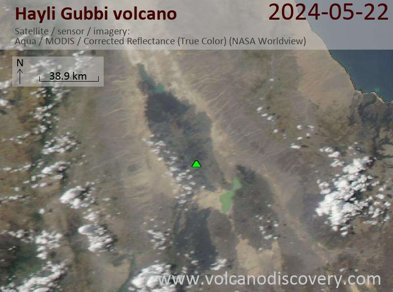
Latest satellite images