Fuego Volcano
Updated: 16. Mai 2024 12:42 GMT -
Stratovolcano 3,763 m / 12,346 ft
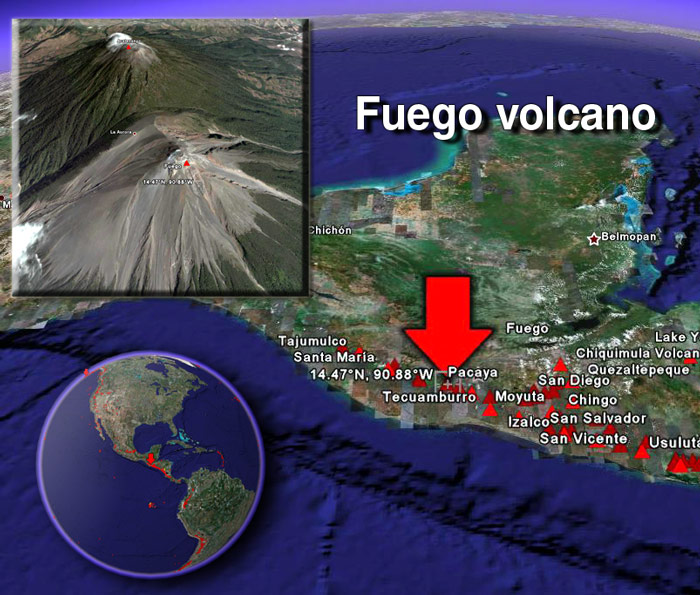
Guatemala, 14.47°N / -90.88°W
Aktueller Status: Ausbruch (4 von 5)
Guatemala, 14.47°N / -90.88°W
Aktueller Status: Ausbruch (4 von 5)
Last update: 16 Mai 2024 (Volcanic Ash Advisory)
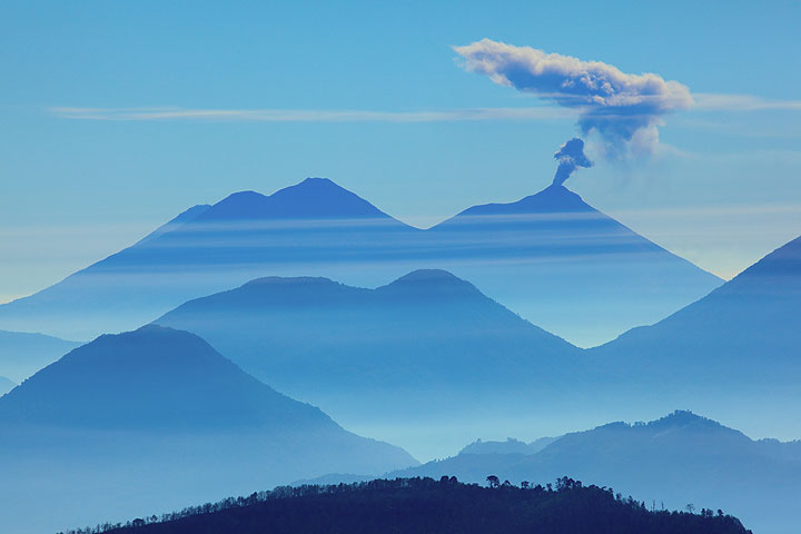
An ash eruption from Fuego volcano seen from the distance
Fuego, one of Central America's most active volcanoes, is one of three large stratovolcanoes overlooking Guatemala's former capital, Antigua. It typically has strombolian activity and sometimes phases of intense lava fountaining, producing tall ash plumes and dangerous pyroclastic flows.
[smaller] [larger]
Ausbrüche des Fuego: 1581, 1585, 1586, 1587, 1614, 1617, 1620, 1623, 1629, 1679(?), 1685, 1686, 1689(?), 1699, 1702, 1705, 1706, 1709(?), 1710,1717,1730, 1732, 1737, 1751(?), 1765(?), 1773(?), 1799, 1826, 1829, 1850(?), 1852(?), 1855, 1856, 1857, 1860, 1861(?), 1867(?), 1880, 1896, 1932, 1944, 1949, 1953, 1955, 1957, 1962, 1963, 1966, 1967, 1971, 1973, 1974, 1975, 1977, 1987, 1999, 2002 - ongoing
Letzte Erdbeben in der Nähe
| Uhrzeit | Mag. / Tiefe | Entfernung / Ort | |||
| 15. Mai. 03:52 (Guatemala) | 2.7 5 km | 17 km nordöstlich | Info | ||
Beschreibung
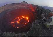
Collapse of the ancestral Meseta volcano about 8,500 years ago produced a massive debris avalanche that traveled about 50 km onto the Pacific coastal plain. Growth of the modern Fuego volcano followed, continuing the southward migration of volcanism that began at Acatenango, the northern twin volcano of Fuego. Frequent vigorous historical eruptions have been recorded since 1524 and have produced major ashfalls, along with occasional pyroclastic flows and lava flows. The last major explosive eruption from Fuego took place in 1974, producing spectacular pyroclastic flows visible from Antigua.Fuego Volcano Photos
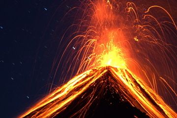
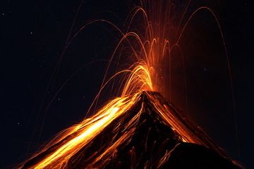
Mächtiger strombolianischer Ausbruch am Vulkan Fuego, Guatemala (Photo: Yashmin Chebli)
Explosion vom Vulkan Fuego, Guatemala, nachts (Photo: Yashmin Chebli)
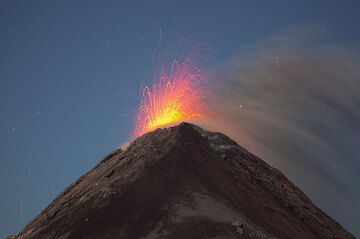
Strombolianische Tätigkeit am Fuego (Photo: Tom Pfeiffer)
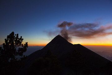
Abendliche Aschewolke eines kleinen Ausbruchs am Vulkan Fuego (Guatemala) (Photo: Tom Pfeiffer)
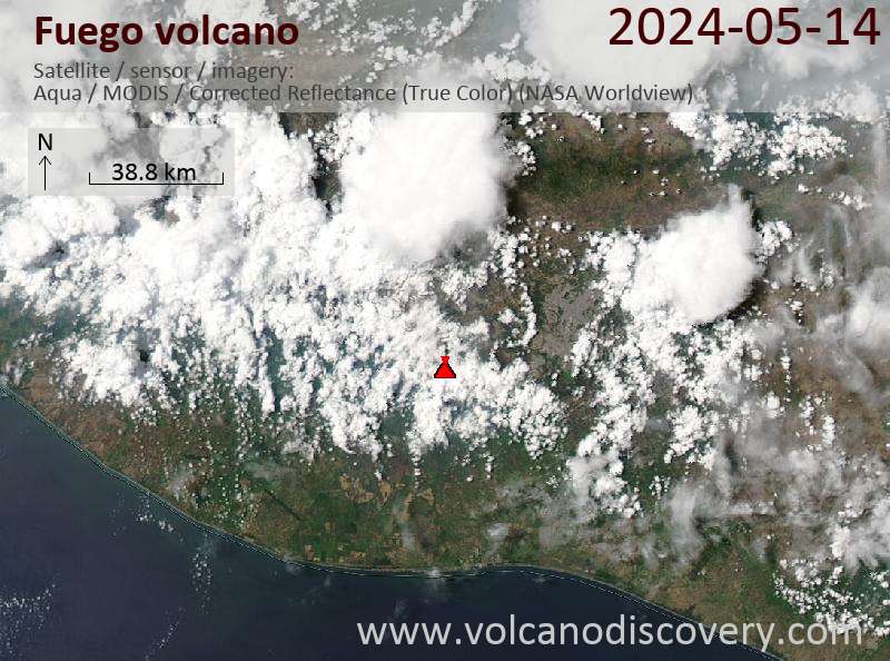
Latest satellite images
Fuego Volcano Tours
Guatemala
Guatemala Volcano Special
11-day volcano tour to Pacaya and Fuego, Guatemala
8-12 days - Mittel bis Anspruchsvoll
Preis $ 3490
Preis $ 3490
zur Zeit keine Termine